North Ardnamurchan Path Show path on map
Start location: Kilchoan ( NM 483 638 )
End location: Acharacle ( NM 676 685 )
Geographical area: Lochaber
Path type: Rural Path
Path distance: 37km
Accessibility info: Suitable for pedestrians
Route Description
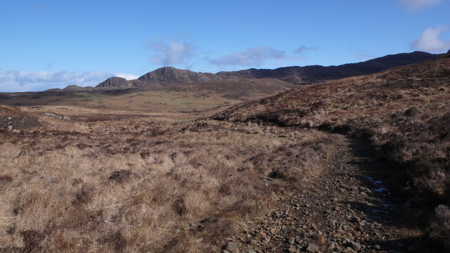
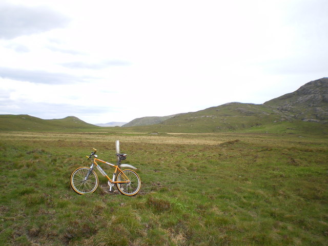
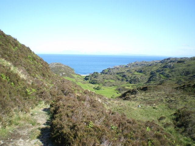
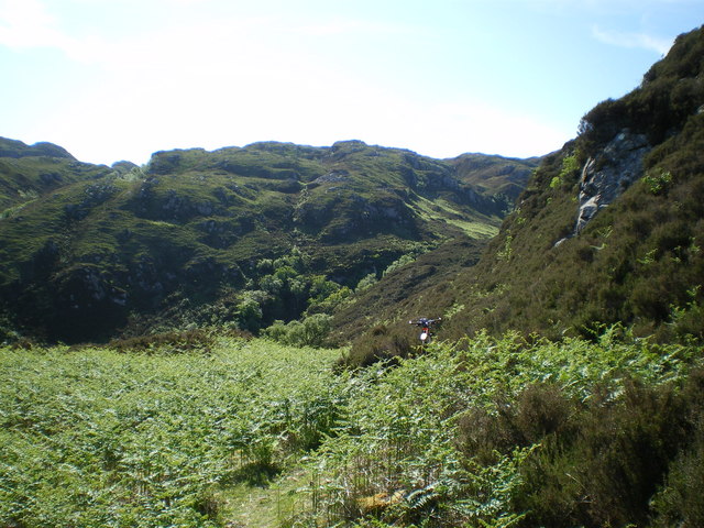
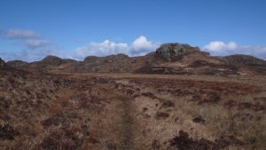
From Kilchoan, take the road northwest in the direction of Achnaha and leave it at NM474675, 200m north of the bridge over the Allt Uamha na Muice. Climb a stile over the deer fence and follow the waymarked path north-northeast which joins up with a track also coming from the road but starting at NM469678. Continue northeast along this signposted path across a circular plain about 4km in diameter surrounded on almost all sides by low gabbro hills, which are the only visible remains of a once great volcano across whose crater the path goes. Reach and pass Glendrian, then at NM475692 go north to the Allt Mhic Cailein and follow it northwest through the Bealach Mor. Enter a native woodland plantation and follow the new track to a ford at NM471705. Here, although within ½km of the coast, turn east towards Fascadale. Follow the path, faint in places, to exit the plantation by a gate at NM479707. Thereafter, a faint boggy path heads east to a small cairn at NM496705, from where the path drops down to Fascadale. Continue east by a minor road to Achateny, then along a track to Kilmory. It is possible to go south from either Achateny or Kilmory to reach the B8007 road where there is a bus service.
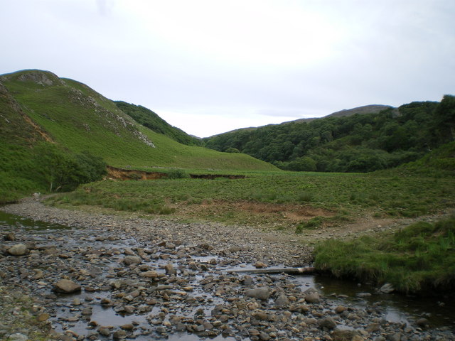
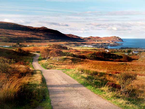
To continue to Acharacle, go east from Kilmory by a road to Ockle. From the road end at Ockle the track heads north then east between the last two houses to reach a fork at NM573710. Take the narrow but clear onward path, climbing southeast over rough terrain, then descending past Gortenfern and through the forest to Gorteneorn. Finally, go along the track on the south side of Kentra Bay to Arivegaig from where it is 2km to Acharacle.
OS Landranger 47 (Tobermory & North Mull) & 40 (Loch Shiel)
Heritage Information
George Langlands' "This Map of Argyllshire" (1801) shows two sections of this route; that between Faiscadal and Ochdale, and that between Gortanfern and Acharacle. The OS first edition 6" map (surveyed in 1872) shows the route in its entirety.
Cattle from the Outer Isles landed at Kilchoan and were driven through Ardnamurchan - the track between Ockle and Acharacle is one such former drove road. Between Gorteneorn and Kentra the OS first edition 6" map shows a system of fords and tracks crossing and skirting Kentra Bay below the high tide line. Today the track runs over land to Arivegaig.
At Dalilea east of Acharacle, by Loch Shiel, lived the Rev. Alexander MacDonald (known as Maighstir Alasdair), Episcopal minister of Ardnamurchan. He is famed for the great journey he made every Sunday from Dalilea to preach at Kilchoan. We haven't been able to ascertain the exact route he took, but it is possible that he came this way at least as far as Kilmory, then turned south.
Interestingly, in 1732 his son, the reknowned Gaelic poet Alasdair Mac Mhaighstir Alasdair, whilst he was a teacher for the Society in Scotland for the Propagation of Christian Knowledge (SSPCK) established a school at Kilmory. He taught "Seventeen Boyes & One Girle, One Learning the Bible, Three the New Testament, The rest the Proverbs & Catechism" . A school is marked on the OS first edition 6" map - as the Education Act only brought in compulsory schooling in 1872, the same year as the survey, is this Alasdair Mac Mhaighstir Alasdair's Kilmory school?