Old Road to Kinloch Hourn Show path on map
Start location: Kinloch Hourn ( NG 949 066 )
End location: Inverie ( NG 766 000 )
Geographical area: Lochaber, Skye and Lochalsh
Path type: Rural Path
Path distance: 25km
Accessibility info: Suitable for pedestrians
Route Description
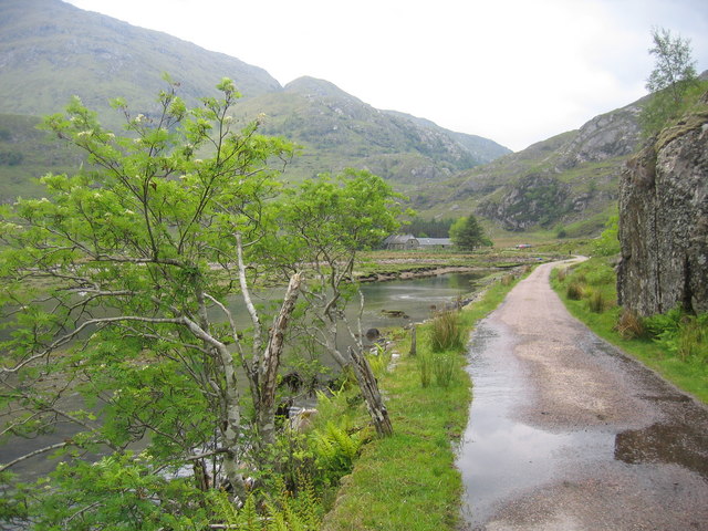
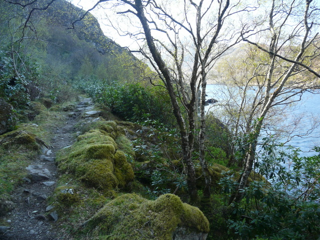
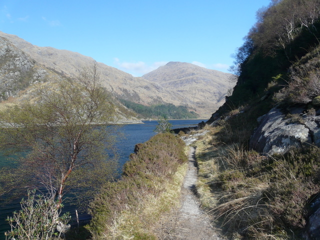
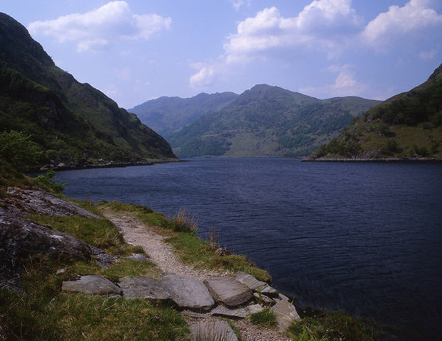
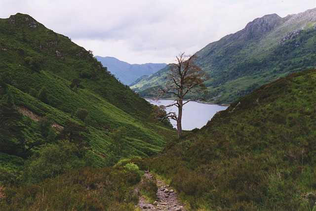
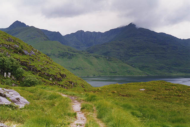
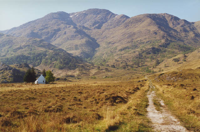
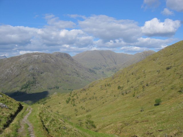
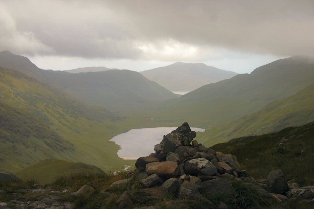
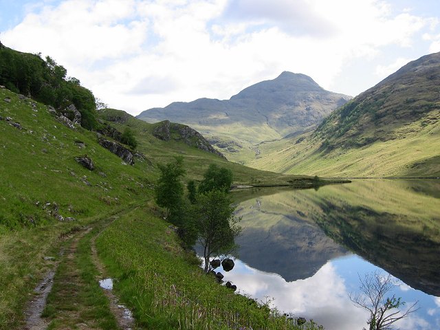
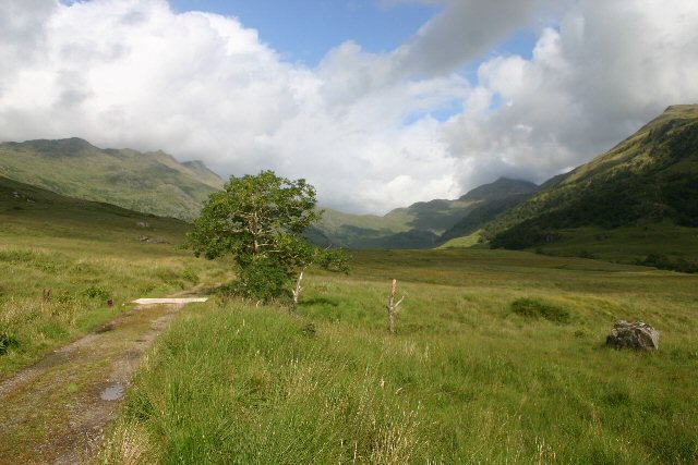
This is a fine walk which combines the wild mountain scenery of Knoydart with the fjord-like upper reaches of Loch Hourn.
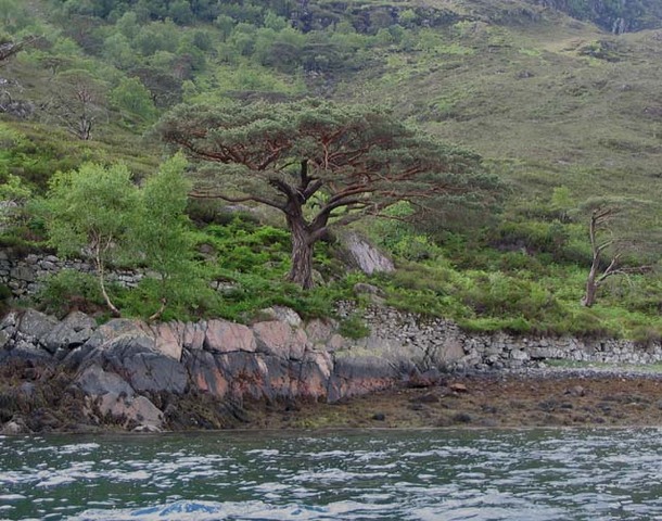
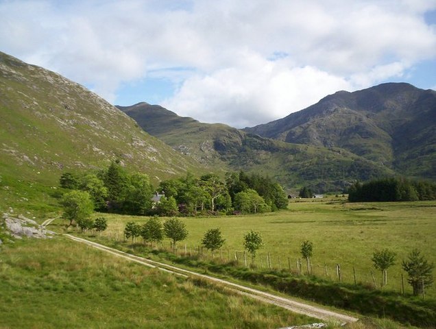
Start from the end of the public road at Kinloch Hourn and go along the fine lochside path for 2km to Skiary. Beyond there the path climbs above the loch for 2km and returns to sea-level just beyond Runival. Look out for the herons circling their heronry on Eilean Mhogh-sgeir 200m offshore. Continue west along the path which rounds a point and reaches the sandy flats of Barrisdale Bay. Pass the estate managed bothy and campsite at Barrisdale and, crossing the river, head southwest and climb to the Màm Barrisdale. There’s then a long descent by Loch an Dubh-Lochain and the Inverie River to the village of Inverie.
OS Landranger 33 (Loch Alsh, Glen Shiel & Loch Hourn)
Heritage Information
This old route is strongly depicted in the 1st edition 6 inch to the mile OS map as a parallel lined track. There were various townships, settlements and farmhouses located along the route such as the quite large township of Skiary at NG929071. The road would likely have been used a great deal by people living on the route to communicate and trade with others who lived on the route or nearby.
The presence of an old church and Graveyard in Inverie suggests that the road was also probably used as a coffin road by the people living on it to take their dead to be buried in consecrated ground. The ruins of another building marked Quoad Sacra Church are located at NG874059 - the Royal Commission on Ancient and Historic Monuments of Scotland have suggested this was used as a school at one time. If this is the case then pupils must have had to travel long distances for their schooling.