Crianlarich Military Road Show path on map
Start location: A82, Derrydaroch ( NN 351 220 )
End location: A82, 1km north of Crianlarich ( NN 378 256 )
Geographical area:
Path type: Military Road
Path distance: 4.75km
Accessibility info: Suitable for pedestrians
Route Description
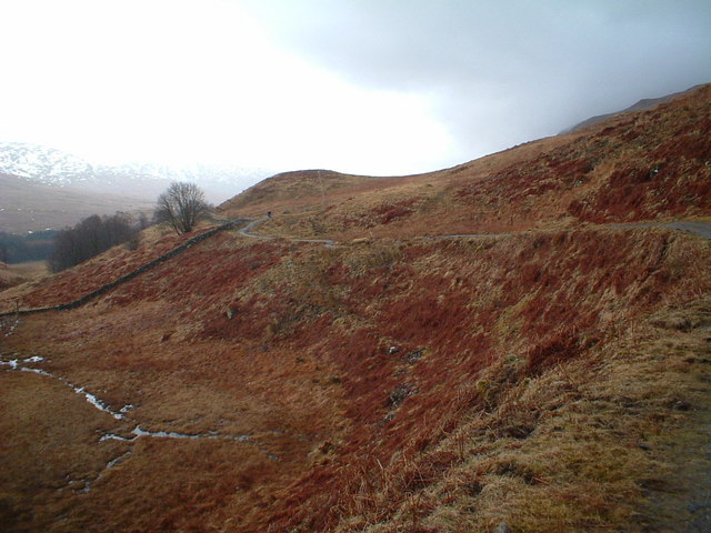
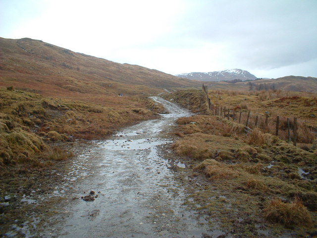
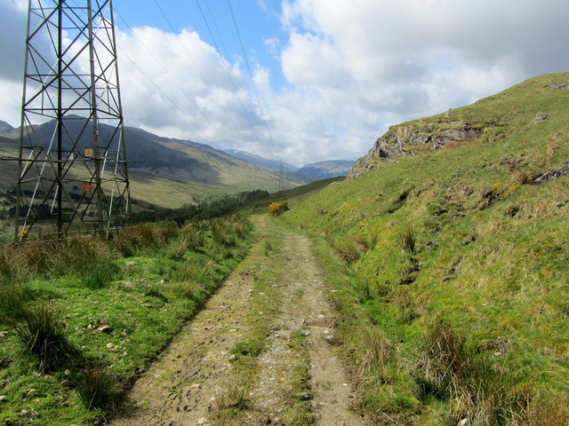
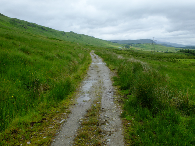
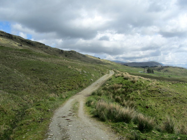
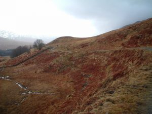
Direct access to the southern end of this old military road is not straightforward as it has been obliterated by both rail and subsequent road building. The easiest way is to follow the West Highland Way from Derrydaroch Bridge. About 1km from Derrydaroch the path turns left and passes under the railway line by a low cattle creep. The WHW then works round and passes beneath the A82 by a tunnel, to steps that lead up to the old military road; head southwest to walk the truncated section or northeast to follow the WHW along the OMR. The line of the old military road rises steadily above the glen as it passes Keilator Farm before reaching a stile and meeting of pathways at the edge of woodland to the west of Crianlarich. The Way turns northwest here, but continue straight on to follow the old military road which joins the A82 north of Crianlarich. Alternatively head east at the junction to reach Crianlarich more directly.
OS Landranger 50 (Glen Orchy & surrounding area)
Heritage Information
This old military road is thought to overlay an older droving route. It was built 1751-54, under the auspices of Major William Caulfeild.
In 1980, this old track became one of several stretches of military road used by the West Highland Way. Other historic routes with links to the West Highland Way include the Bankie Trek, the Black Mount Military Road, the Devil's Staircase, the Drove Road to Callert Ferry and the Military Road to Fort William.