Queen Mary’s Road Show path on map
Start location: beside Decimal Youth Club, Coaltown of Balgonie ( NT 302 997 )
End location: A915 (Standing Stane Road) at Forester's House ( NT 313 966 )
Geographical area: Fife
Path type: Medieval Road
Path distance: 3.25km
Accessibility info: Suitable for pedestrians
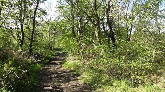
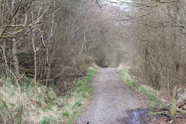
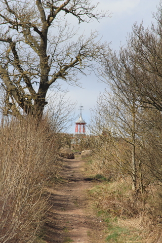
Route Description
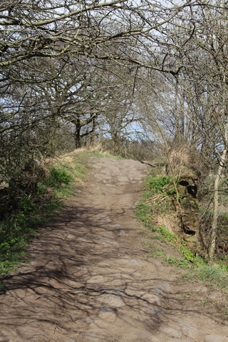
Via Barrel Brig over River Ore and Wemyss Estate Woodlands. A good, well bottomed path throughout, except section between bings between railway lines.
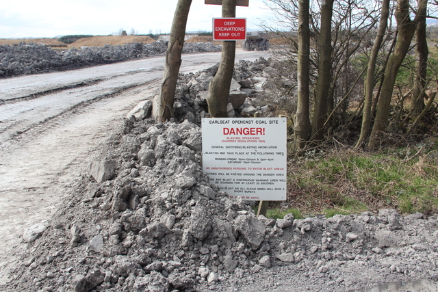
Unfortunately, this historic route has been interrupted following the welcome re-opening of the railway line to Leven. At present, it is not possible to cross the railway using this route, but efforts to restore public access are continuing.
OS Landranger 59 (St Andrews, Kirkcaldy & Glenrothes)
Heritage Information
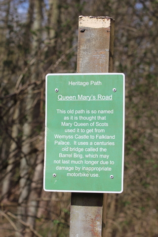
This route is said to have been used by Mary Queen of Scots when travelling between Wemyss Castle and Falkland Palace. In 1565, at Wemyss Castle Mary met her future husband Lord Darnley; they had met 5 years earlier when she was in mourning for her first husband, this second meeting resulted in marriage within six months.
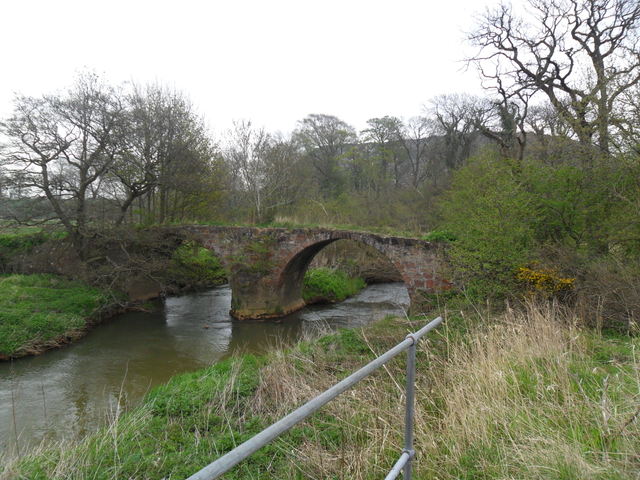
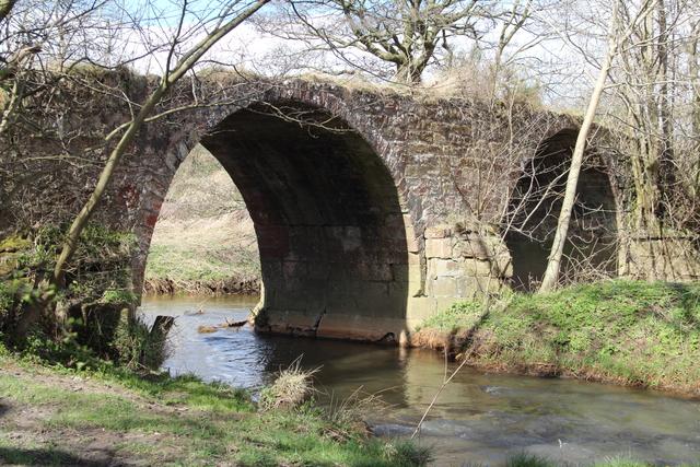
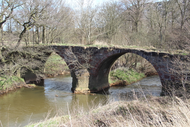
There is an old bridge on this route called Barrel Brig, so named because of its barrel vaulting. We are informed that in 1725 it was called the New Bridge, and it is this name that is preserved in the woodland that flanks the path to the south of the Barrel Brig - New Bridge Strip. Interestingly, the OS 2nd edition 6" mapping names both New Bridge and New Bridge Strip, but it also labels the route north of the bridge as Doubledikes Road. The Royal Commission on the Ancient and Historical Monuments of Scotland has stated that the bridge's age is difficult to determine, but that it was certainly used by packhorses. Unfortunately, we have received reports that the bridge itself may be unlikely to stand for much longer due to inappropriate use by motor vehicles.