Loch Torridon Drove Road Show path on map
Start location: Coulags, A890 ( NG 962 452 )
End location: Annat, A896 ( NG 894 544 )
Geographical area: Ross and Cromarty
Path type: Coffin Road, Drove Road
Path distance: 13km
Accessibility info: Suitable for bikes, Suitable for pedestrians
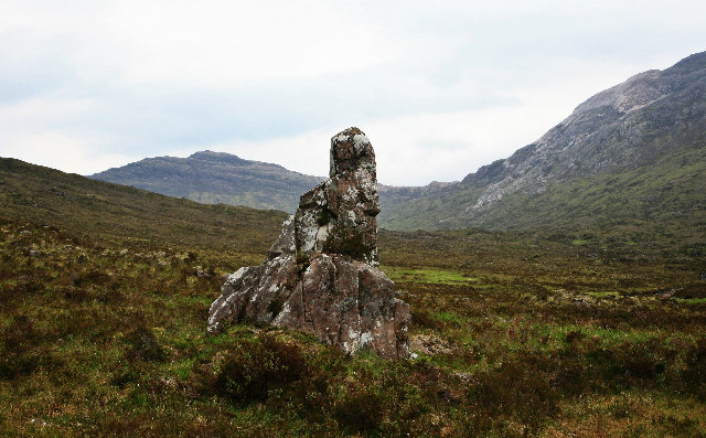
Route Description
Start from the A890, 4½km north from Strathcarron station, just east of the bridge over the Fionn-abhainn. Take the driveway towards the new Coulags Lodge for about 200m, and just before the Lodge’s garden gateway take a path on the left. Follow this up the east side of the river, cross it by a bridge and continue north past the MBA maintained Coire Fionnaraich bothy (NG949479). After a further 1km, there is a junction of paths. This old route takes the main and most direct way which continues north up the glen past Loch Coire Fionnaraich to the Bealach na Lice (420m) on good paths. From here, head northwest down to Loch an Eoin where an easy 5km walk down a good path leads to Annat at the head of Loch Torridon.
Note that the burn out of Loch Domhain can be treacherous in spate, but can usually be crossed by large stepping stones.
For those wondering whether this old route is cyclable, Developing Mountain Biking in Scotland has previously described a circuit using both this route and the Coulin Pass as a physically and technically demanding endeavour through a remote and sensitive area.
Landranger 25 (Glen Carron & surrounding area) & 24 (Raasay and Loch Torridon)
Heritage Information
Tradition has it that this was used as a drove road. It may well have been used by drovers with cattle from the Gairloch area heading south or, more likely, heading east towards the big market at Muir of Ord.