Lon Ban Show path on map
Start location: road end at Ramasaig ( NG 163 444 )
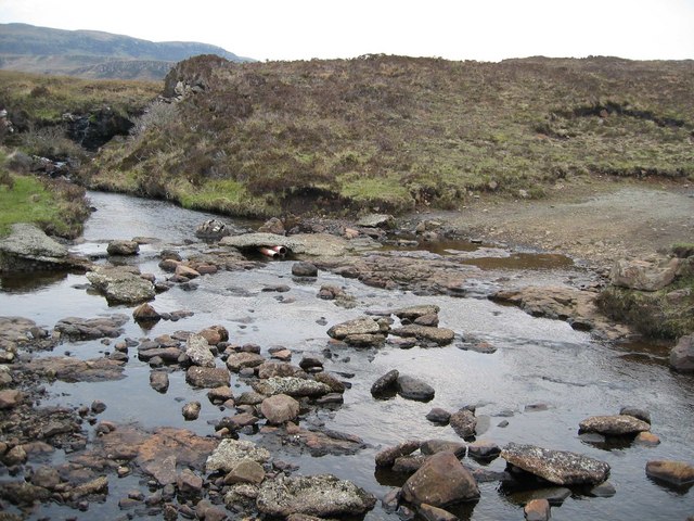
End location: Lorgill River ( NG 179 420 )
Geographical area: Skye and Lochalsh
Path type: Rural Path
Path distance: 3km
Accessibility info: Suitable for pedestrians, Survey required
Route Description
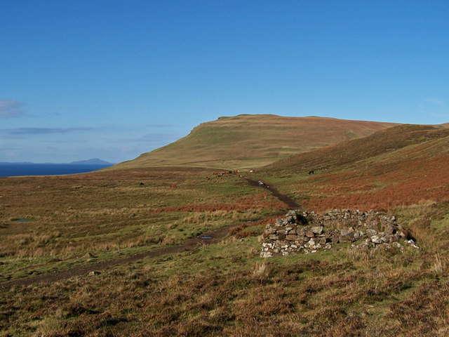
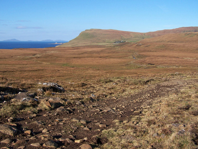
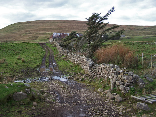
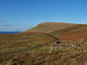
From the start at Ramasaig the route appears to follow a good track to the Lorgill river.
OS Landranger 23
Heritage Information
The ruined building marked at NG 168 436 can also be seen on the 1st edition of the OS 6-inch map (Inverness-shire, Isle of Skye 1879, sheet xxvi) and is labelled as a 'School (Boys & Girls)'. Lorgill was cleared in the 1800s, and today only one farm remains at Ramasaig, but this ruin stands testament to the needs of the once thriving settlements in this area and to the historic use of this path.