Lairig Bhreislich Show path on map
Start location: Duncroisk ( NN 527 362 )
End location: unclassified road leading to Bridge of Balgie ( NN 571 438 )
Geographical area: Perth, Kinross and Stirling (part)
Path type: Drove Road
Path distance: 9km
Accessibility info: Suitable for pedestrians
Route Description
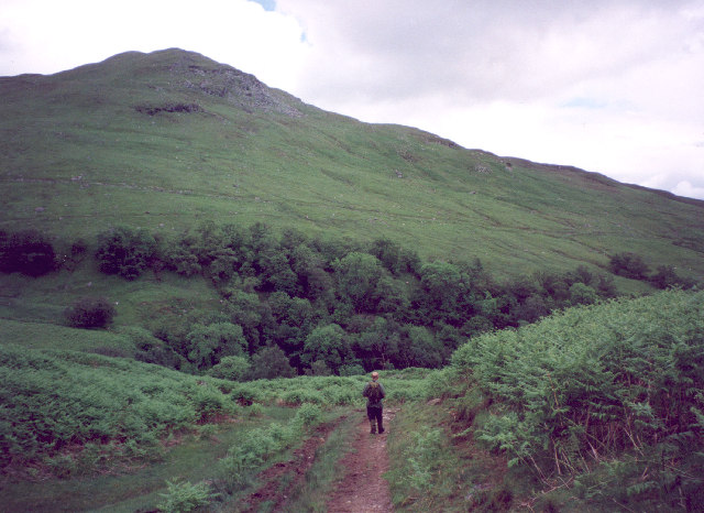
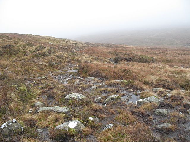
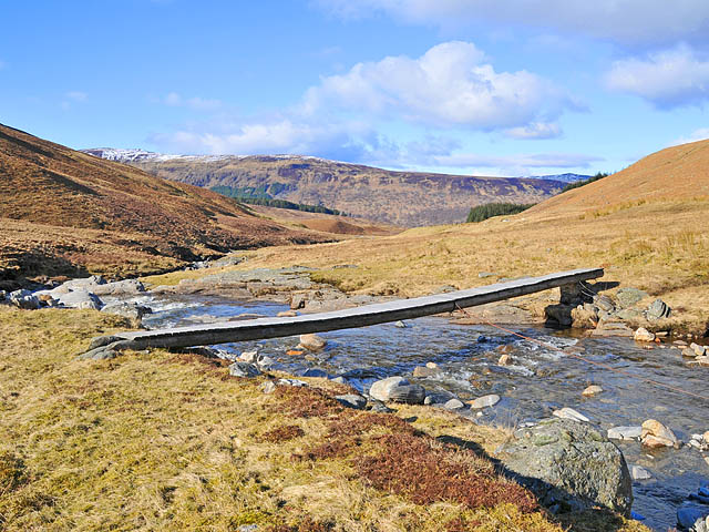
Duncroisk lies 5km from Killin following Glen Lochay’s public road. Just beyond it, take a gated track on the right (NN526363) to go northeast up the Allt Dhuin Croisg on its west side past old shielings. Continue up the Allt Dhuin Croisg to the long flat summit of the Lairig Bhreislich. Descend north-northeast beside the Allt Breisleich and cross the Allt Baile a’ Mhuilinn by the bridge at NN571437 to reach the road leading down to Bridge of Balgie (a further 3km).
OS Landranger 51 (Loch Tay)
Heritage Information
This is part of an old drove road, used by long distance traffic and also serving the shielings whose many ruins are still to be seen in the glen. These shielings are beautifully written about in Kathleen Jamie's book Findings (2005). Although little used now, the drove road is said to be still a good route between Glen Lochay and Glen Lyon.
The old drove road can be traced onwards as far as Loch Rannoch by continuing north to Bridge of Balgie and thence north from Innerwick by the Lairig Ghallabhaich.