Tollie Path (Old Road to Poolewe) Show path on map
Start location: Slattadale ( NG 889 720 )
End location: Tollie, A832 (S of Poolewe) ( NG 858 789 )
Geographical area: Ross and Cromarty
Path type: Rural Path
Path distance: 8.3km
Accessibility info: Suitable for pedestrians
Route Description
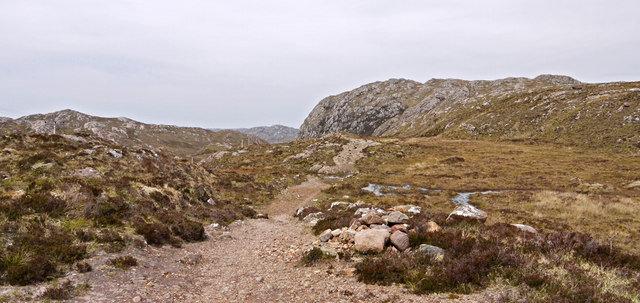
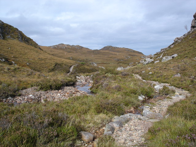
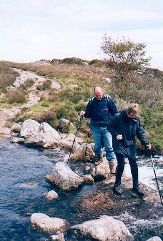
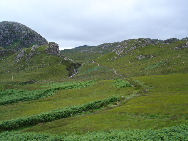
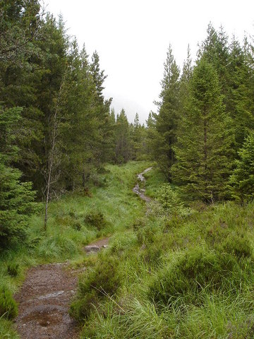
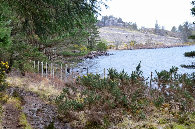
Leave the A832 road in the Slattadale Forest and go N for 0.75km to a carpark. Go N along a path through the forest by the side of Loch Maree and climb to a viewpoint overlooking the loch. Further north the path leaves the forest and climbs NW up a glen on the south side of Creag Mhor Thollaidh to cross a pass at 250m. Continue down a narrow glen on the north side of the pass to reach the A832 road 2km south of Poolewe.
OS Landranger 19 (Gairloch)
Heritage Information
This is an old road to Poolewe, and can be seen marked on the First Edition OS Six Inch to the Mile map (surveyed in 1870).
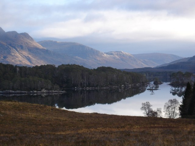
![Dropping down to the shores of Loch Maree on the path to Slattadale. Slioch [Spear mountain] in the distance. © Gordon Hatton, Geograph](https://scotways.com/wp-content/uploads/2022/05/Tollie-Path-Old-Road-to-Poolewe-3.jpg)