Post Road Show path on map
Start location: north of Clousta ( HU 308 577 )
End location: road just east of Vementry ( HU 311 596 )
Geographical area: Shetland Islands
Path type: Rural Path
Path distance: 2.1km
Accessibility info: Suitable for pedestrians
Route Description
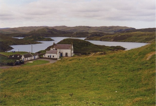
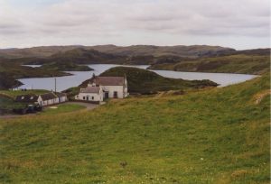
This path runs for 1.75 kilometres between the croft of Vementry and the small community of Clousta to the south. The terrain between is undulating moorland with numerous lochs and is uninhabited and roadless. A well marked path, much of which has been recently restored, runs between the two places and was used on a very regular basis in the earlier part of the 20th century by two different types of user.
OS Landranger 3 (Shetland – North Mainland)
Heritage Information
Clousta's school was one of the first to be built after the Education Act of 1872 which made elementary education compulsory for all children aged between 5 and 13. Pupils from Vementry used this route to walk to school. It can be seen marked on the first edition OS 6" map of 1882, but was closed by 1930. The postman also used this route to carry out a non-motorised delivery until about the 1930s. The route is signposted by the council at both ends.