Lighthouse Path Show path on map
Start location: carpark, Burra Firth ( HP 611 149 )
End location: Hermaness Hill ( HP 606 175 )
Geographical area: Shetland Islands
Path type: Rural Path
Path distance: 2.9km
Accessibility info: Suitable for pedestrians
Route Description
Newsflash: starting in March2021 until March 2022, new recycled plastic boardwalk is being installed to retrace this historic path to the Muckle Flugga signalling station, amongst other improvements to public access and facilities.
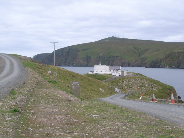
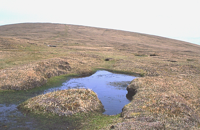
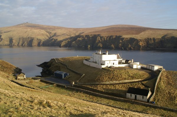
Heading northwest from Haroldswick in Unst, the former shore station at Burrafirth lies on the right branch at the end of the road. This walk starts from the carpark at the end of the left branch of the road. There is an information board for the reserve and the track is clear. Beyond the Burn of Winnaswarta Dale the way divides, follow the posts up the slope and across the heather moorland to the top of Hermaness Hill. The route is very boggy and the use of boots is strongly recommended. However duckboards have been put in place over some of the worst sections. 6km there and back.
A circular walk of about 9km can be made by continuing up the Burn of Winnaswarta Dale to the coast and following the marker posts along the cliffs north, then up onto Hermaness Hill.
OS Landranger 1 (Shetland – Yell & Unst)
Heritage Information
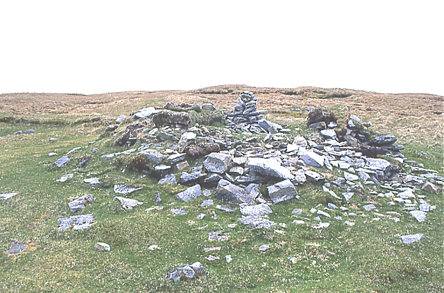
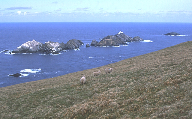
This path originally related to the lighthouse which was engineered between 1854-57 by David and Thomas Stevenson, uncle and father respectively of Robert Louis Stevenson. The lighthouse is located on a 200 foot high skerry called Muckle Flugga lying about a kilometre north of the cliffs on the north and west of Hermaness Hill. Supplies for the lighthouse had to be brought in from a shore station several kilometres away at the head of Burra Firth. The shore station was not visible from the lighthouse, so a path was made to the top of Hermaness Hill, which overlooks Muckle Flugga. From 1858 until 1939 it was the duty of the shore station to send someone on a daily basis to walk to the top of the hill to signal the lighthouse to ensure that all was well and that supplies were adequate. Radio communication was installed in 1939.
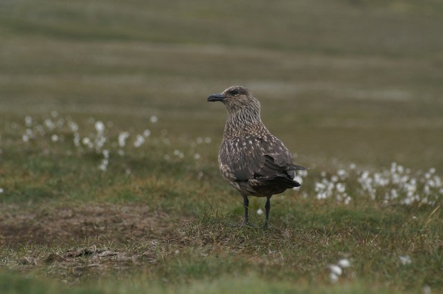
Today the path is heavily used by nature lovers, since the establishment of Hermaness National Nature Reserve. This was set up to protect rare sea birds notably the Bonxie (Great Skua) as this is the world's third largest breeding colony. Additionally 25 thousand pairs of puffins breed on the cliffs and red-throated divers live on the moor.
This is the furthest north path in Scotland.