General Wade’s Military Road, Crieff to Aberfeldy Show path on map
Start location: Hill Street, Crieff ( NN 864 217 )
End location: Old Crieff Road, Aberfeldy ( NN 855 490 )
Geographical area: Perth, Kinross and Stirling (part)
Path type: Military Road
Path distance: 35km
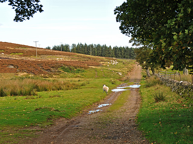
Accessibility info: Suitable for pedestrians
Route Description
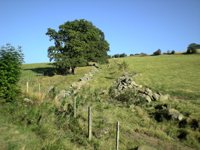
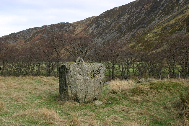
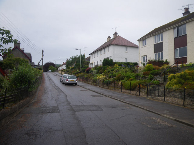
From the centre of Crieff, the course of the military road can be followed northeast along Ferntower Road to reach Crieff Golf Course. As there is nothing left of the road over the golf course, it is advisable to take a detour along the track to the north of the course. At the northeast edge of the golf course, the route crosses a gully and skirts around the east side of the Knock of Crieff before striking north, crossing the road to Monzie and joining the A822. After about 600m, the track of Wade’s Road diverges from the A822 and goes directly northeast across the moor to a point (NN898267) near Foulford Inn. This much altered former coaching inn closed in 2010. Opposite, signposted Connachan, the first really distinct section of the old road commences; go north-northeast crossing a fine military bridge (NN900273) to reach a forestry plantation. At NN900275, where the track to Connachan turns left, Wade’s Road goes right and becomes a grassy track winding uphill to a crossroads at NN901277. From here, go northeast over the shoulder of the hill to the Sma’ Glen, dropping down to join the A822 at NN904295. A kilometre beyond, off the A822, lies Clach Ossian, a massive stone moved by Wade’s roadbuilders.
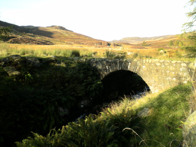
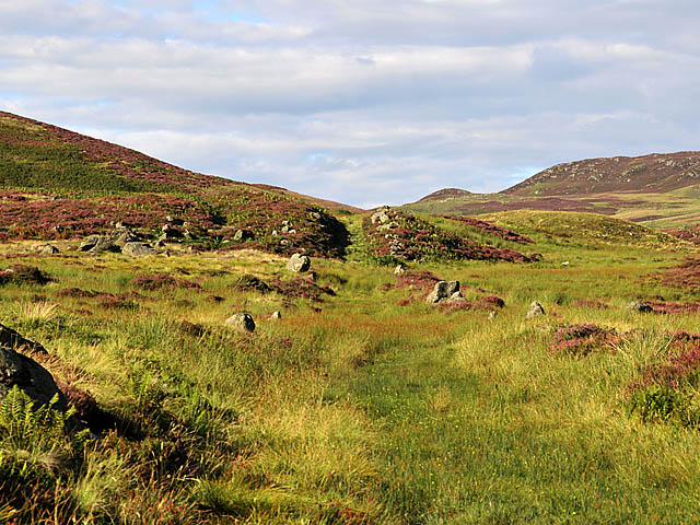
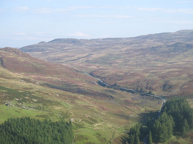
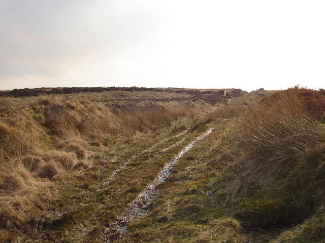
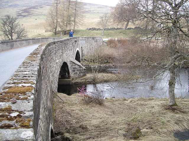
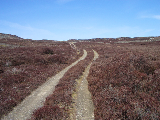
Continuing through the Sma’ Glen, Wade’s Road can be picked up again 400m beyond Newton Bridge. At NN889318, the divergence of the old road westwards from the new is easily identified by the presence of a fine (now grass-topped) military bridge. Cross this, and go for 2km along the old road which roughly parallels the new one, then converges to rejoin it briefly. After 800m, the old road passes above Corrymuckloch and goes directly to Amulree. Cross its picturesque Wade bridge, now fortunately non-vehicular following the diversion in 2010 of the A822 onto a new bridge. Once over the old bridge immediately turn right, then before reaching the A822, take the track which goes left uphill past North Amulree Farm. Wade’s Road continues north, cutting the corner of the A826/A822 junction by climbing over the hillside, across Glen Fender and into Glen Cochill. After being crossed and re-crossed by the A826, Wade’s Road keeps straight up the west side of the Cochill Burn for over 3km, passing a little Wade bridge opposite Scotston. The straight section continuing across the moorland after passing Scotston is on rather boggy ground. Near the head of the glen, the road passes as a ride through the plantation with stiles over fences. Almost at the summit of the glen, the A826 again merges with Wade’s Road, then diverges when passing Loch na Craige.
On the descent towards Aberfeldy, the old road goes arrow straight down through trees towards Gatehouse, where the two roads again coincide. They part for the final time at NN870485, with Wade’s Road going straight to the heart of Aberfeldy down the Old Crieff Road directly to The Square.
OS Landranger 52 (Pitlochry and Aberfeldy) or 58 (Perth & Alloa, Auchterarder)
Heritage Information
From 1730, one of the earliest military roads built under the auspices of General Wade linked Crieff with Dalnacardoch, a distance of 44 miles. Here the focus is solely on the part between Crieff and Aberfeldy, as the remainder of the route north to Dalnacardoch remains almost entirely in use by the modern road network. Frustratingly for General Wade, there was delay in completion of Aberfeldy's Tay Bridge and it was not officially opened until 1735; JB Salmond sets the opening scene of his book Wade In Scotland (1934) on this stretch of military road with the General travelling to the great bridge's opening ceremony.
The first section of the road is very interesting in that it shows just how direct the military roads were as it runs straight into Crieff; in contrast with the modern A85 which is much less so. However, there appears to be some debate over the exact course of the road north of Crieff. It is followable until the golf course where Ordnance Survey depict it crossing over directly and then turning north. William Taylor's The Military Roads of Scotland and the aforementioned JB Salmond both describe it as passing Ferntower. That being said, Salmond's description is somewhat vague; his subsequent reference to the gate of Monzie Castle and Taylor's to its entrance can both be taken to mean the East Lodge at NN883240. Indeed Taylor's own map appears to be at variance with his written description and grid references. If further detail about the historic line is required, we suggest searching trove.scot for the wealth of information previously contained on the Royal Commission on the Ancient and Historical Monuments of Scotland's Canmore website, as RCAHMS had helpfully set out extracts thereon from both Salmond and Taylor's books alongside its own detailed surveys for the whole route.
The first road Wade's successor, Major Caulfeild, had built was a southwards extension to this route (in 1741-42) in order to improve access between Stirling and Dalnacardoch. The entirety of the route from Stirling to Dalnacardoch is beautifully shown on Taylor and Skinner's map published in 1776.
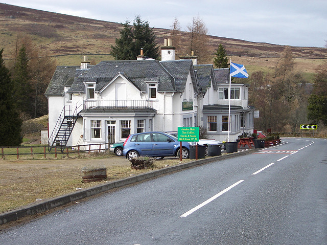
A former King's House is located at Amulree, but its origins stretch back further than Wade for it was founded as a drovers' inn in 1714. This is perhaps not surprising for Amulree lies at a crossroads of old routes - to Crieff, Kenmore, Aberfeldy and Logiealmond. Theresa Mackay has researched into female innkeepers; she says of Janet McLaren, for a time the innkeeper at Amulree, "she saw horse dealers and constables and ministers and government officials and school inspectors... And she not only provides them with bed and food she also runs her farm, she hires men to work in her hayfield, she sells whisky to road construction workers. So her days were absolutely full. It shows how important the inn was to the sustainability of the area". Mrs McLaren's 1832-1835 notebook is held by the National Records of Scotland.
Amulree formerly had a Tryst in May before one was established at Crieff; once the latter developed it is known that drovers used the route south through the Sma' Glen to reach it. Wade's Roads often exploited existing drove roads and this one it seems was no exception.