Old Road along Loch Striven Show path on map
Start location: King's Landing, unclassified road south of Invervegain ( NS 085 772 )
End location: B836, north of Ardtaraig ( NS 059 829 )
Geographical area: Argyll and Bute
Path type: Rural Path
Path distance: 7km
Accessibility info: Suitable for pedestrians
Route Description
This old route is not always clear and at some points can be very overgrown, so careful navigation is required to avoid getting lost. We’ve been recommended the earlier part of the year as a good time to do this walk, as the bracken will have died back.
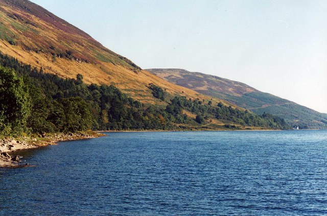
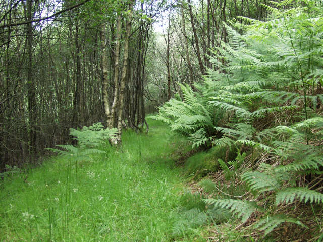
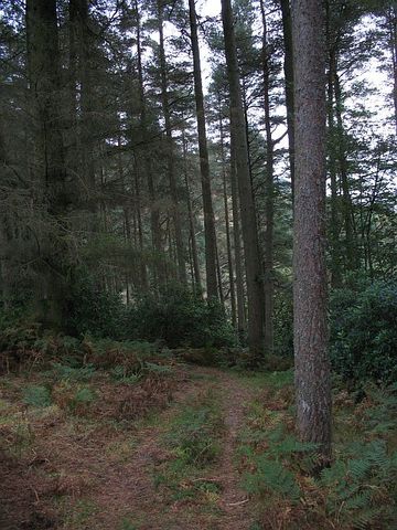
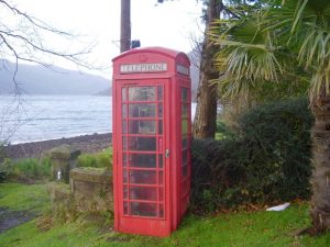
From the telephone box at King’s Landing at the end of the public road, head north along the private road through Glenstriven Estate. At the first junction (NS085776) take the left fork to follow the loch-shore road north and over the bridge, passing several houses, before reaching a sharp bend at NS069792. Turn left onto a rough track that leads northwest and then drops steeply down to the lochside, ending at NS065794. The right of way continues north, boggy in places, at first beside the loch and then higher up on the hillside through attractive oak and birch woods, to reach Ardtaraig House and the B836.
Explore Cowal walked this old route south to north and back again in February 2015, then helpfully blogged about the experience – it’s a great read with an interactive map and loads of photos.
OS Landranger 56 (Loch Lomond & Inveraray area) and 63 (Firth of Clyde area)
Heritage Information
This is a very old packhorse and possibly a cart track as well. Signs of the old terraces and hollow way are visible, and it passes ruined settlements.
A hollow way is where a section of unsurfaced road has had so much use that it has sunk down below the level of the surrounding level of land dramatically. Rainwater would have exacerbated this and eventually the surface of the road can be metres below the road boundary.