The Old String Road Show path on map
Start location: Access road to Monyquil from B880 ( NR 938 348 )
End location: B880 3km west of Brodick ( NR 977 358 )
Geographical area: Arran and Ayrshire
Path type: Rural Path
Path distance: 4.5km
Accessibility info: Suitable for pedestrians
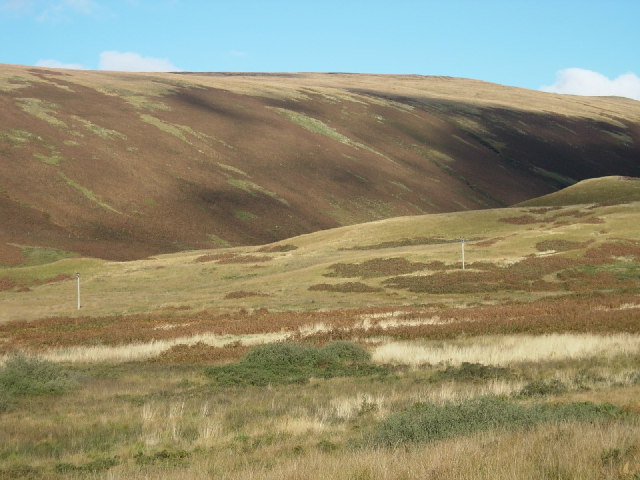
Route Description
Easily seen from the B880 String Road, as it cuts through the bracken on the opposite slope of Gleann an t-Suidhe. The path leaves the north side of the road very close to the summit heading WSW down the glen above the right or north bank of the burn. The path is grassy and easily followed for most of the way on a generally downward slope but contouring the hillside rather pleasantly before descending a spur into Gleann Easbuig below Cnoc a’ Chlochair Fort to reach another burn close to a ruined building. The burn is crossed and the route runs parallel to but still on the right or north bank of the Machrie Water for about 900m to the site of the Monyquil Standing Stone and chambered Tomb. Thereafter, the route is traversing arable land and it is necessary to ford the Allt Mhic Gillegregish to gain the Monyquil Farm track and so the B880.
OS Landranger 69 (Isle of Arran)
Heritage Information
The String Road is the main road that bisects Arran, designed by Thomas Telford. However, this is an older alignment on the north side of Gleann an t-Suidhe, pre-dating Telford's efforts.