Stock Mounth Show path on map
Start location: Moss-side near Strachan ( NO 699 916 )
End location: Chapelton Croft, north of Chapelton ( NO 735 831 )
Geographical area: Grampian
Path type: Rural Path
Path distance: 11.1km
Accessibility info: Suitable for pedestrians
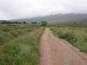
Route Description
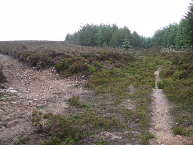
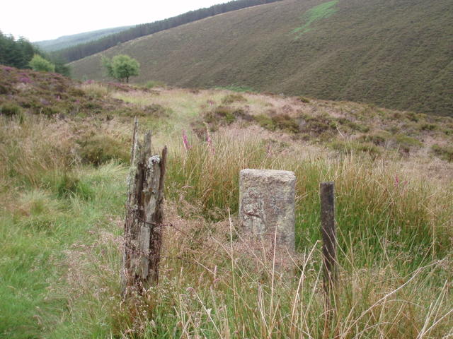
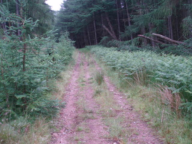
East of Moss-side, at NO699916, take a track south which climbs across the west side of Blarourie to a gate at NO700897. Follow a track southeast past a ScotWays sign marking the Kerloch path junction. Continue southeast, skirting the edge of the forest between Shillofad and North Dennetys. Descend to cross the Burn of Sheeoch at a ford, skirt the west side of Monluth Hill and meet the main forest road at NO733868. Turn south here to cross a bridge over the burn, and as a result of forestry, rather than follow the historic route, it will be necessary to follow the main forest road southwest then southeast around the west side of Leachie Hill. The historic line is regained to descend past the site of Maxie Well to Chapelton Croft (NO736832).
OS Landranger 45 (Stonehaven & Banchory)
Heritage Information
The Stock Mounth was also known as 'The Foggy Road' among locals in Durris, fog being the Scots word for moss. This is a similar reason as some old routes are called green roads or velvet roads as the path is overgrown with turf and moss and so is soft.
It was probably used mainly as a drove road by drovers avoiding the toll at the Bridge of Dye on the better-known Cairn a' Mounth road, of course the other way travellers avoided this toll was to ford the Dye nearby to the bridge when it was not in spate. The process of droving may well be what gave the Stock Mounth its name although no confirmed sources as to the name's origin have yet been found. However, like the nearby Cryne Corse Mounth and Builg Mounth, this old route may have been used by drovers to get to St Palladius' Fair (Paldy Fair) on Herscha Hill north of Auchenblae, by Fordoun. According to ARB Haldane's The Drove Roads of Scotland, this was a tryst of some importance. In 1795, it was said that up to 3000 cattle were sold at this Fordoun cattle fair each July, and that most of them had come from the north.
In 1863, the Ordnance Survey Name Book for Kincardineshire notes that Paldy Fair is held from the first Tuesday after 11th July for three consecutive days - the first day being for Sheep, the second day for Cattle, the third for Horse and also Reapers for the harvest. The site of Paldy Fair can be seen clearly marked on OS 6" second edition mappping (1892-1905) and also on the OS 1" mapping until at least the 1950s.
The Heritage Paths project is pleased to announce that Neil Ramsay (our former Project Officer) and Nate Pedersen (one of our earliest volunteers) have teamed up to write an ebook - The Mounth Passes - with photography by long-standing ScotWays member Graham Marr. If you too are interested in the heritage of these old ways through the Grampian Mountains, we highly recommend it.