Builg Mounth Show path on map
Start location: Bridge of Bogendreip ( NO 663 910 )
End location: Milton of Dellavaird ( NO 736 820 )
Geographical area: Grampian
Path type: Drove Road
Path distance: 14km
Accessibility info: Suitable for pedestrians
Route Description
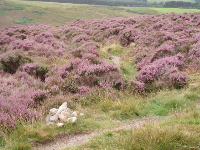
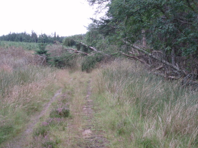
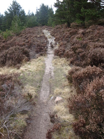
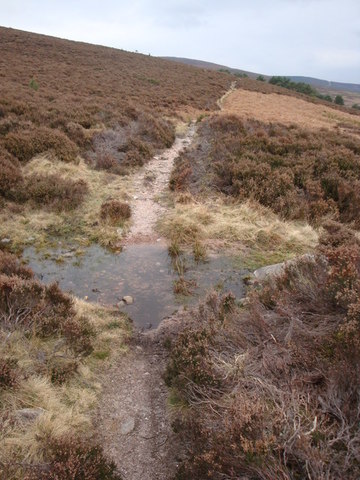
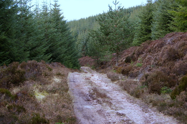
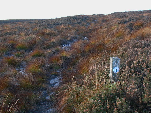
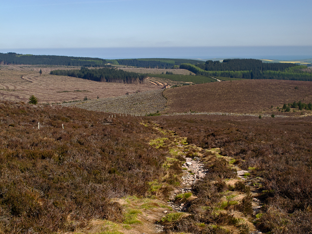
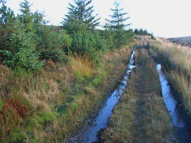
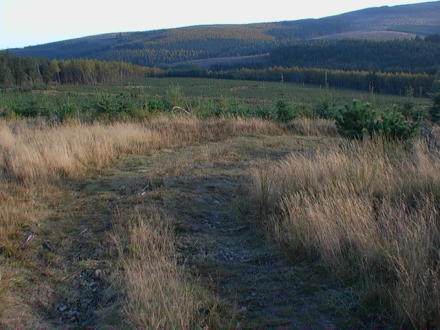
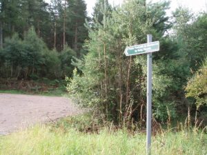
Just to the east of the Bridge of Bogendreip, take the signposted track leading south parallel to the Water of Dye. After about 400m, transfer to a forest road some 200m higher up the hillside and continue south through the forest. At NO670892, bear right (southeast) not left (east), and at NO670891, be careful not to take the path uphill towards the logging road, instead take the older lower route. This passes out of the forestry as it curves anti-clockwise round the base of Hare Hill, re-entering and joining a forest road circa NO672872 below Little Kerloch. This old route again leaves the forest track at about NO683867 by a path (which becomes indistinct) heading southeast along the line of a ride through cleared forest and across the Builg Burn (a deep narrow channel). Continue southeast over rough ground (pathless for circa 1km but waymarked) to the bealach between Tipperweir and Kerloch, now the limit of the Mid Hill windfarm. Crossing a new road, the Builg Mounth descends southeast, for 400m joined by a section of windfarm track which is using the old route, then leads back into the forest. The original line soon becomes affected by said forestry, so at NO699850 go west for a short distance past a gravel pit and then, at a junction (NO696850) turn south-southeast onto the track along the east side of the West Burn of Builg, rejoining the old line at NO704841 shortly before the East Burn of Builg joins from the left. Continue southeast for over 1km, until circa 100m after the forestry bridge (not crossed) at NO716834, a rather overgrown track bears right and, still on the east side of the burn, descends to Corsebauld and Chapelton farm, from where a road goes southeast to the crossroads near Milton of Dellavaird. Alternatively, from Chapelton head SSW in the direction of Glenfarquhar Lodge and the site of Paldy Fair.
The Milton of Dellavaird endpoint has been long signposted by ScotWays as the most accessible, however historically the route left the Corsebauld-bound track to pass west of the buildings at Tipperty and southward towards Glenfarquhar Lodge to reach Paldy Fair more directly.
OS Landranger 45 (Stonehaven & Banchory)
Heritage Information
This is an ancient right of way from Strachan in Feughside to St Palladius' Fair (Paldy Fair) near Glenfarquhar Lodge, 3km north of Auchenblae. It was probably used also as a drove road for drovers heading to Laurencekirk market. It did not go quite as high as the nearby Cairn a' Mounth road and so would have been snowbound less often. It was also probably fairly busy with drovers and travellers as the Cairn a' Mounth had a toll at the Bridge of Dye but the Builg Mounth did not.
The Builg is depicted in Garden’s map of 1776 marked as ‘Builg Road, a Foot Path'. It is also shown in James Robertson's map of 1822 where it seems to have been upgraded to a vehicular track, although it certainly is not one anymore. Modern 1:25,000 OS maps continue to mark the route as the Builg Road.
According to ARB Haldane's The Drove Roads of Scotland, Paldy Fair was a tryst of some importance. In 1795, it was said that up to 3000 cattle were sold at this Fordoun cattle fair each July. In 1863, the Ordnance Survey Name Book for Kincardineshire notes that Paldy Fair is held from the first Tuesday after 11th July for three consecutive days - the first day being for Sheep, the second day for Cattle, the third for Horse and also Reapers for the harvest. The site of Paldy Fair can be seen clearly marked on OS 6" second edition mapping (1892-1905) and also on the OS 1" mapping until at least the 1950s.
The Heritage Paths project is pleased to announce that Neil Ramsay (our former Project Officer) and Nate Pedersen (one of our earliest volunteers) have teamed up to write an ebook - The Mounth Passes - with photography by long-standing ScotWays member Graham Marr. If you too are interested in the heritage of these old ways through the Grampian Mountains, we highly recommend it.