Kirk Road through the Lairig Ghallabhaich Show path on map
Start location: Innerwick ( NN 587 475 )
End location: roadside at Dall (former Rannoch School) ( NN 597 569 )
Geographical area: Perth, Kinross and Stirling (part)
Path type: Drove Road
Path distance: 10.2km
Accessibility info: Suitable for bikes, Suitable for pedestrians
Route Description
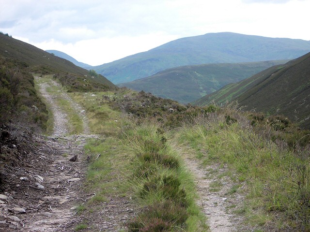
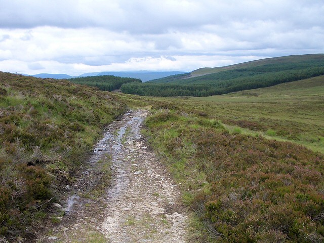
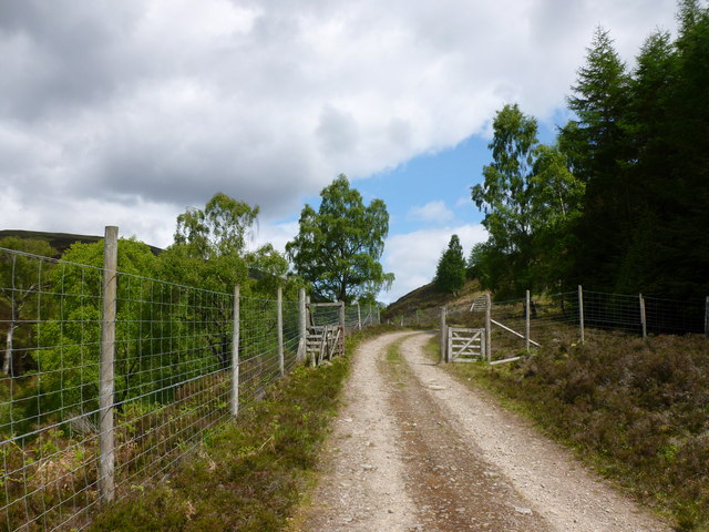
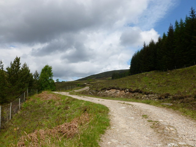
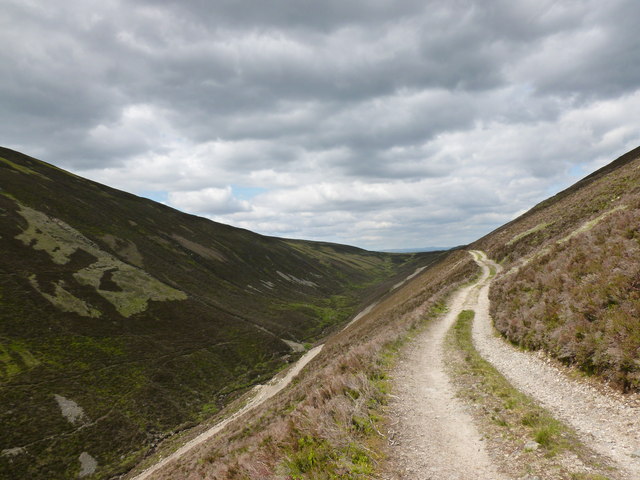
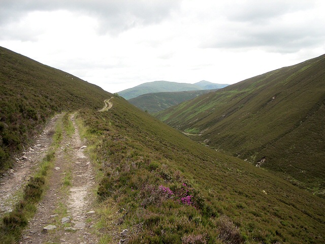
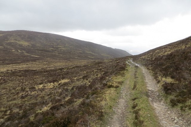
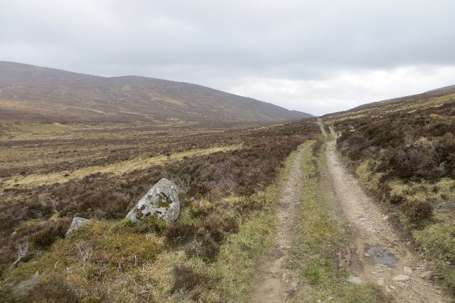
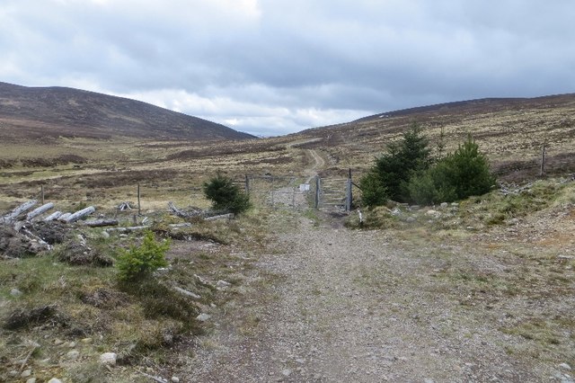
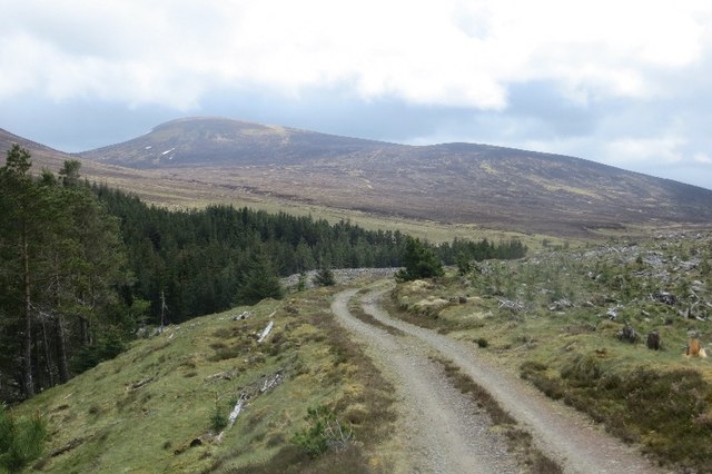
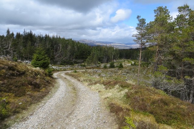
From the church at Innerwick in Glen Lyon, 1km east of Bridge of Balgie, take the gated track north-northwest, initially up the east side of the burn, then keeping a forestry block on the right, to turn north-northeast to the Lairig Ghallabhaich (478m). Continue down the track and into the forest until a track comes in from the left and a footpath goes off to the right. At that point (NN594543), continue straight on north, passing a small reservoir, to where the track swings left (NN594548). Leave the track to go straight ahead north along a footpath into the woods. Continue down the path, going straight across a vehicle track to reach the Dall Estate buildings (former Rannoch School), turning right along the tarmac drive to meet the public road beside Loch Rannoch.
If you’re thinking of biking this old route, we hear it includes a little bit technical landrover track, but is beautiful and super enjoyable. To get a further idea of what to expect, here’s a link to Markus Stitz’ video which includes this route, the Drove Road between Dalnaspidal and Loch Rannoch and the Callander & Oban Railway.
OS Landranger 51 (Loch Tay & Glen Dochart)
Heritage Information
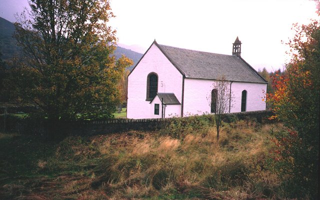
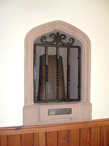
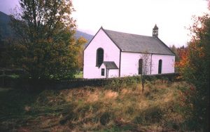
This old route is known as the Kirk Road, but its religious history is relatively uncertain. The present church at Innerwick is a Telford parliamentary church, built in 1828 replacing a earlier building. Inside the church is an eighth century bell, known as St Adamnan's bell. Innerwick lies in the parish of Fortingall; said to be one of the largest parishes in Scotland, the Old Statistical Account (1792) gave its length of 37 miles and breadth as 17 miles. As it encompassed the districts of Glenlyon and Rannoch as well as Fortingall, it would be unsurprising if this route linking Loch Rannoch and Glen Lyon enabled the minister or congregation to travel to church. If anyone has further information about this old route's use as a kirk road, the Heritage Paths project will be pleased to hear from them.
Glen Lyon is relatively remote from other centres of population. In 1681, in recognition of this, a warrant was granted for two annual fairs to be held at Innerwick on the first Thursdays of September and November. The warrant specifically noted that Innerwick lay about 30 miles from a royal burgh and its fairs would provide necessities, so this route may well have been used to travel to and from those fairs. One fair at Innerwick is still mentioned by the time of the New Statistical Account (1838).
The route from Innerwick to Dall is shown as a road on James Stobie’s 1783 map of Perthshire; it can also be seen on Aaron Arrowsmith's 1807 map of Scotland. This route is also part of an old drove road which can be picked up again further south heading through the Lairig Breislich to Duncroisk and thence to Killin.