Military Road Show path on map
Start location: A75 near Black Park ( NX 383 644 )
End location: A75, Glasnick Smithy ( NX 353 633 )
Geographical area: Dumfries and Galloway
Path type: Military Road
Path distance: 3.9km
Accessibility info: Suitable for pedestrians
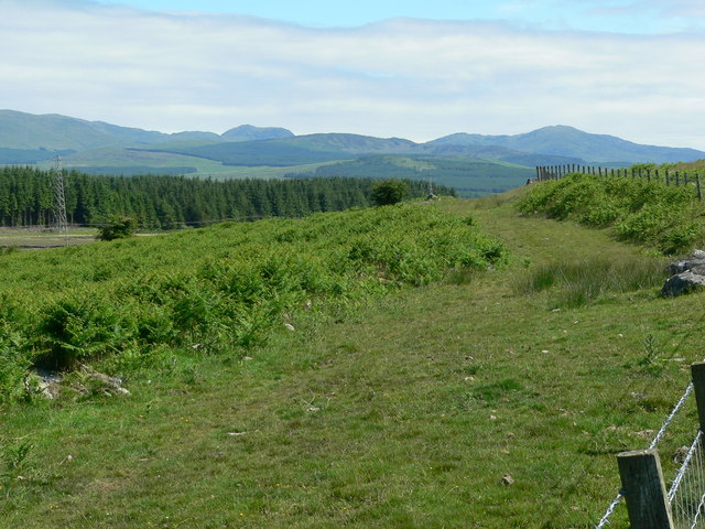
Route Description
Route description runs east to west as follows: off the A75 into Blackpark on a tarred road. From here to Muirfield, an old farm with a modern shed, there is a used tractor hard-core road. This passes round behind Barskeoch Hill with mostly good walking. As the path swings round and down, it deteriorates into boggy tufted reed close to the A75 at a milestone at Glasnick Smithy.
OS Landranger 83 (Newton Stewart & Kirkcudbright area)
Heritage Information
This is a small part of a fascinating military road that was built by Major Caulfeild in the 1760s. The road originally stretched 105 miles from Bridge of Sark to Portpatrick and much of the old road is under the A75. There is a long stretch of Military Road, east of Glenluce that is not under the A75, but that is not as easy to find anymore. Further east, between Creetown and Gatehouse of Fleet lies the section over the Corse of Slakes.
Unlike all other military roads built in this period, this road was not built for the Hanovarians to gain advantage over the Jacobites but to aid troop movements to Ireland. Roads existed here before the military road was built, so what happened was that those roads were reconstructed and realigned in places. Indeed it has been suggested that much of this road followed a Roman road.