Glen Banchor Cart Track Show path on map
Start location: Parking spot, on road northwest of Newtonmore ( NN 692 998 )
End location: Cluny Castle A86 ( NN 647 944 )
Geographical area: Cairngorms National Park
Path type: Rural Path
Path distance: 12.7km
Accessibility info: Suitable for horses, Suitable for pedestrians
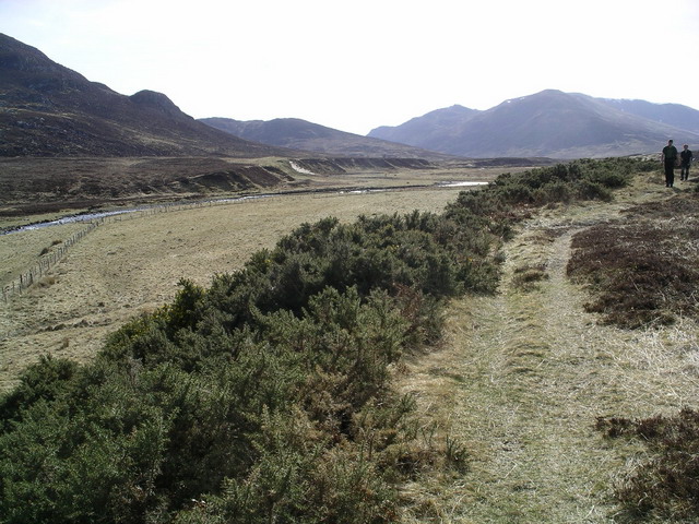
Route Description
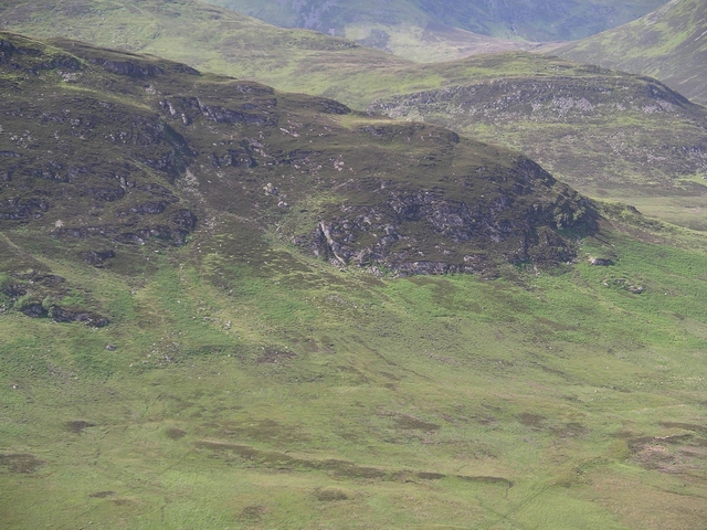
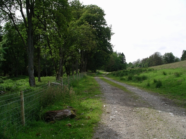
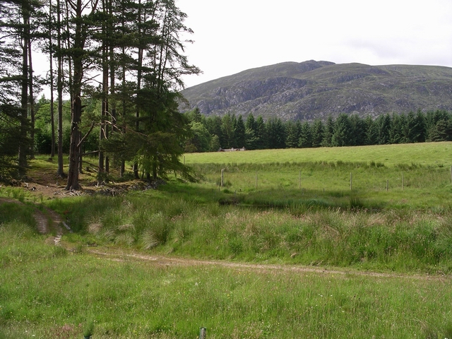
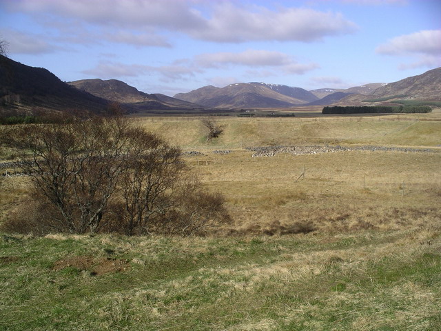
To reach this route, from Newtonmore take the narrow public road up Glen Banchor for just over 2km to its end at the Allt a’ Chaorainn, where there is limited parking. From there, continue across this burn and along the track to Glenballach, and then by the footpath on the north side of the River Calder. The crossing of two burns, the Allt Ballach and the Allt an Lochain Duibh, may be difficult if they are in spate, and beyond the latter there is no path for the last few hundred metres to a bridge and bothy at the Allt Madagain (NN648984). From there, follow a good tracks south through Srath an Eilich and across the moor to Cluny Castle, 3km east of Laggan. It is possible to go direct to Laggan by leaving the track at the south end of Srath an Eilich and bearing southwest just below the steep slopes of Stac Buidhe across grassy moorland with no continuous path to finish through fields where cattle and sheep graze above the village.
This path is horse accessible as far as Cluny Castle, but we’re not sure about the onward route to Laggan.
OS Landranger 35 (Kingussie & Monadhliath Mountains)
Heritage Information
This path is a very old road linking Badenoch with upper Speyside. It must have been used for hundreds of years as there are ruined townships located throughout the area. These townships were not nearly as remote when inhabited as they seem now for there would have been a steady stream of traffic travelling past. Indeed, there would have been little other way to go south without the use of a boat to cross the Spey until the river was bridged towards the end of the 18th century.
At its east end, the path starts at what is now named on Ordnance Survey maps as Shepherd's Bridge, but was originally called either Allt a’ Chaorrain Bridge or Dail a' Chaorrain Bridge. It is one of the very many features Anglicised by the Ordnance Survey in the 20th century, which is only now being reversed.
A small detour to one of the townships on the way, Dail a' Chaorainn on the west bank of the Allt a’ Chaorrain, is well worth it. One of the buildings, a corn kiln, was excavated some time ago and fenced off without being filled in. You are able to see quite clearly how the building was made and then visit a reconstruction at the nearby Highland Folk Museum in Newtonmore.
The road probably fell out of use once people started to migrate from the upland farms and townships to the factories and jobs in Kingussie and Newtonmore, although it now makes for a very nice walk.