Strath Tirry to Badanloch Tracks Show path on map
Start location: A836, bridge over Feith Osdail ( NC 575 139 )
End location: Badanloch Lodge, B871 ( NC 801 331 )
Geographical area: Sutherland
Path type: Rural Path
Path distance: 50km
Accessibility info: Suitable for pedestrians
Route Description
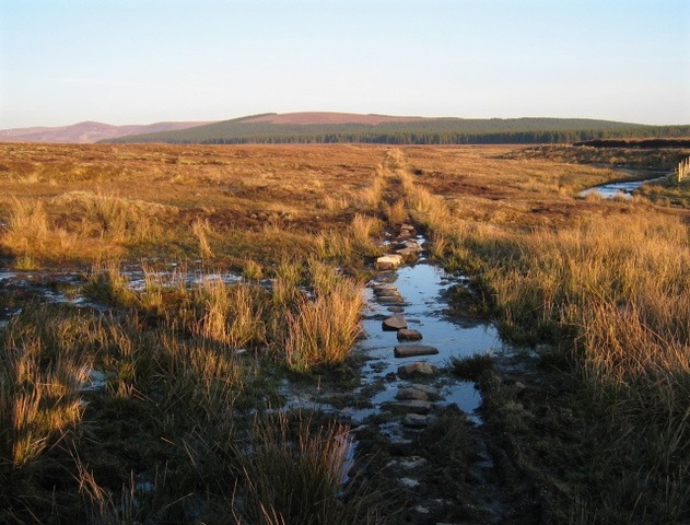
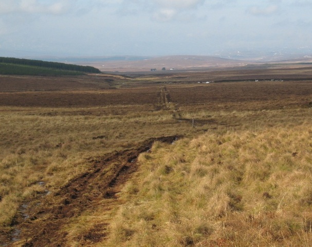
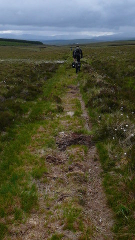
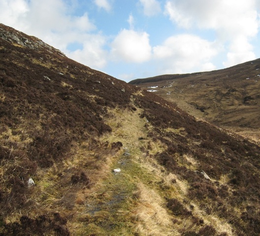
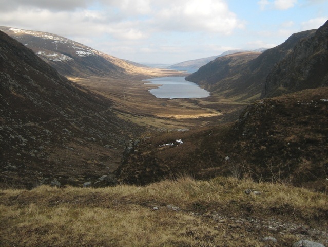
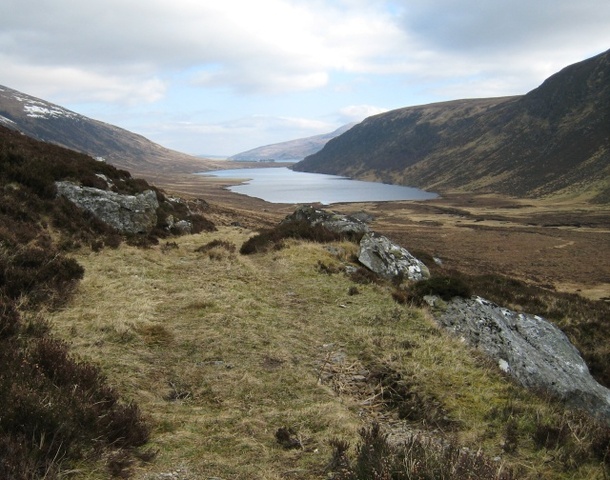
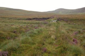
Start from the A836, 8km north of Lairg near Dalmichy where there is a bridge over Feith Osdail. Go E along a track for 6km to Dalnessie far up the River Brora, then go N along a path up this river for 3½km to a confluence of streams. Continue up the western stream, the Allt Gobhlach, and keep going N over a flat featureless col and down the Allt Coire na Fearna to the head of Loch Choire. Continue along the lochside (both the north and the south side of the loch have paths) to Loch Choire Lodge and then go E along a private road to Gearnsary and past Loch an Alltan Fhearna and the south end of Loch Badanloch to the B871 road 6km west of Kinbrace on the A897, where there is a station with a rather infrequent train service.
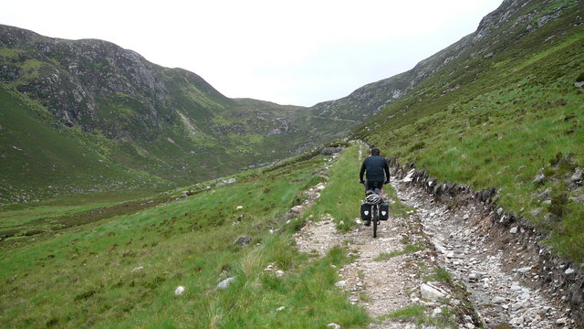
A shorter alternative is to start at Crask Inn, further north and also on the A836. Follow the path through the Bealach Easach to Loch a’ Bhealaich and Loch Choire. Then follow the route as described above.
OS Landranger 16 (Lairg & Loch Shin) & 17 (Helmsdale & Strath of Kildonan)
Heritage Information
The track from Crask Inn to Loch Choire Lodge first appears on OS mapping surveyed in 1894. It runs through the Bealach Easach, then along the north side of Loch a' Bhealaich and the south side of Loch Coire' an Fhearna to the Lodge. There are buildings marked at Alltnaba and Altalaird on the north side of the loch. The track heading east is first mapped here too, although the earlier path east can be seen on maps surveyed in 1872. A track runs from Dalmichy, but only as far as Dalnessie. The path from Dalnessie to Loch Coire first appears on the OS 1" map surveyed in 1908. On that map, Alltnaba has disappeared from the north shore, but Alltalaird is still marked and indeed is there to this day.
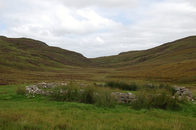
This development of the network of tracks round Loch Choire as shown in the OS maps, probably charts its rise as a sporting estate. However it is likely that these paths existed as routes before that time, as there are numerous deserted townships and settlements, some with traces of cultivation, and many ancient ruins along the line of the tracks. The area is reported to have been depopulated by the early nineteenth century.
A cave lies just to the north of the Bealach Easach at NC 5793 2587. According to the Ordnance Survey Name Book (Sutherland, compiled in 1873), this is Uamh an t-Sioslaich or Chisholm's Cave which is said to take its name from a notorious mid-eighteenth century robber. The Heritage Paths project has been told William Scrope's The Art of Deer Stalking (1839) reports that Chisholm lived in the cave for many years leaving venison in return for hay and grain taken from the strath, so it seems he could be the OS's eighteenth century thief. However, the Chisholms hereabouts do seem to have had quite some reputation - it is said that a Harold Chisholm led a ferocious band of robbers in the late twelfth century, and by 1498 the Chisholms were well known for cattle raiding. As such, the oral source for Uamh an t-Sioslaich may actually reflect an earlier memory of Chisholm crimes. It certainly points to the likely use of the pass for nefarious purposes.