Description
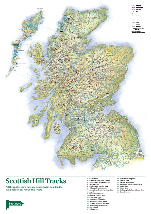
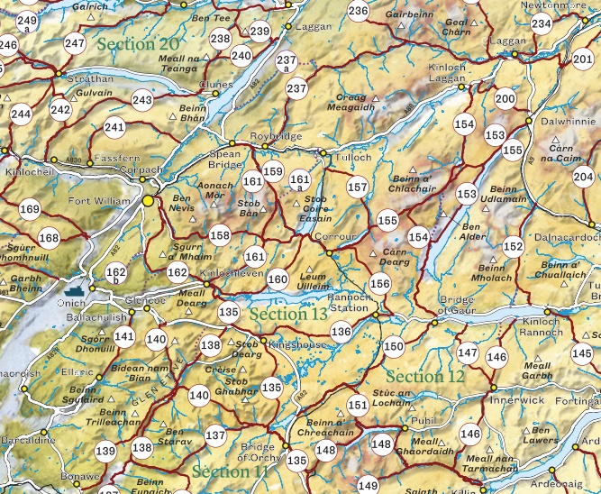
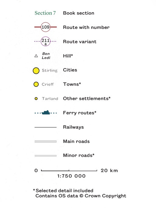
This large-format map is the perfect companion to the sixth edition of Scottish Hill Tracks. All 350 routes are shown and labelled, and the variant routes are also shown, along with the road and railway networks, and relevant ferries, to help planning adventures of all kinds in the Scottish hills. It’s in the same style as the maps in the book, with watercolour artwork overlaid with modern Ordnance Survey OpenData and our route mapping.
Keep it folded with your copy of the book, or unfold it as an attractive poster for inspiring your next big trip.
A2 portrait (420 x 594 mm), single sided, supplied folded to A5 size.
Errata
- There is a spelling mistake in the descriptive text at the bottom of the map, “show” should be “shown”.
- The scale is incorrect: the scale is actually 1:1 000 000, i.e. 10 mm = 10 km.