Old Coffin Road to Eilean Fhianain Show path on map
Start location: Brunery, Glenmoidart Road, Glen Moidart ( NM 729 718 )
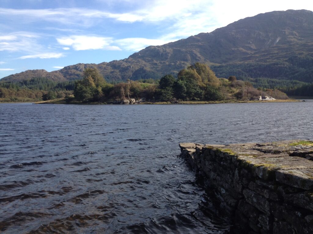
End location: Pier, opposite Eilean Fhianain, Loch Shiel ( NM 750 684 )
Geographical area: Lochaber
Path type: Coffin Road
Path distance: 5.8km
Accessibility info: Survey required
Route Description
This is a newly added Heritage Path and we’re looking for a volunteer to survey it. In the meantime, it is shown on current OS mapping.
OS Landranger 40 (Loch Shiel)
Heritage Information
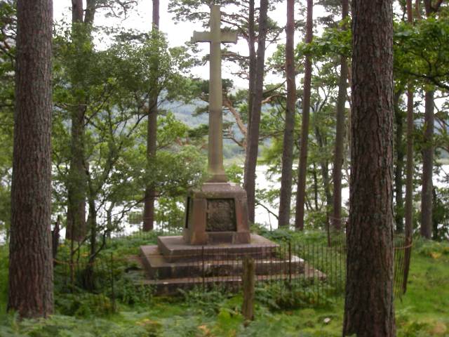
This old route is one of the few remaining stretches of the coffin road from Glenuig to the burial island of Eilean Fhianain, known as both St Finnan's Isle and the Green Isle. St Finan is said to have had a cell on this island in the 7th century, and the later St Finnan's chapel was reportedly built by Alan MacRuaridh, an early Clan Ranald chief. The island was the clan's burying place until the late 16th century, and by the mid-17th century the chapel was ruined. Despite this, until summer 2019, the chapel still housed an early medieval bronze bell, but sadly this has been stolen and is yet to be recovered despite a reputed curse on any thief.
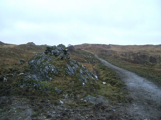
On the current OS 1:25,000 Explorer map, at least six cairns are marked along this part of the old coffin road, but nine are marked on the OS second edition 6" mapping (surveyed 1897-99). The largest cairn still extant is General Ross's Cairn (1863) which is similar in style to the trio of cairns popularly known as Captain Robertson's Cairn beside the A861, 1.5km to the southwest as the crow flies.
Although the construction of the A861 obliterated most of the rest of the old coffin road from Glenuig, other stretches are still mapped in Glen Uig itself and elsewhere in the woods fringing the newer road, albeit we're not sure how accessible these are. A great many cairns are also said to have been destroyed when the road came through the glen, each belonging to a particular family.