Old Road to Thurso Show path on map
Start location: Westerdale ( ND 128 515 )
End location: Braemore ( ND 073 304 )
Geographical area: Caithness
Path type: Rural Path
Path distance: 33km
Accessibility info: Suitable for bikes
Route Description
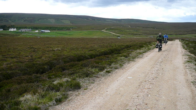
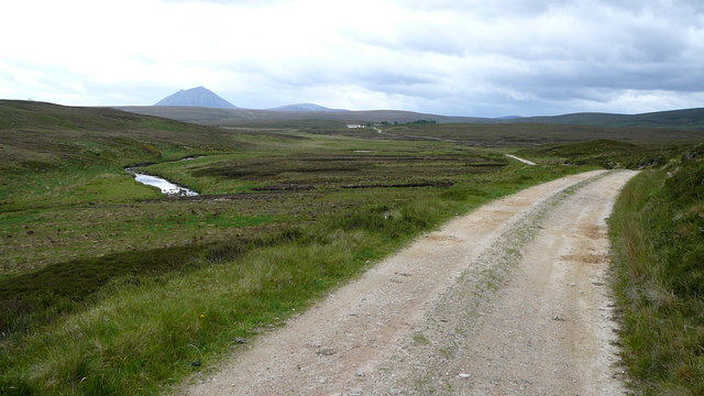
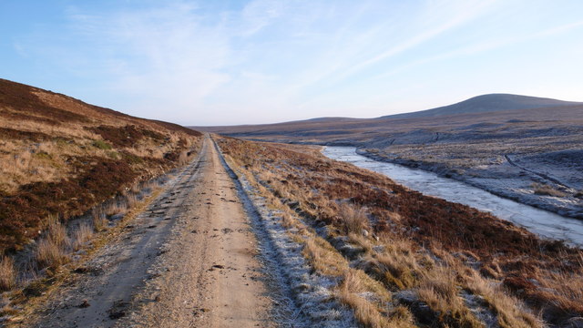
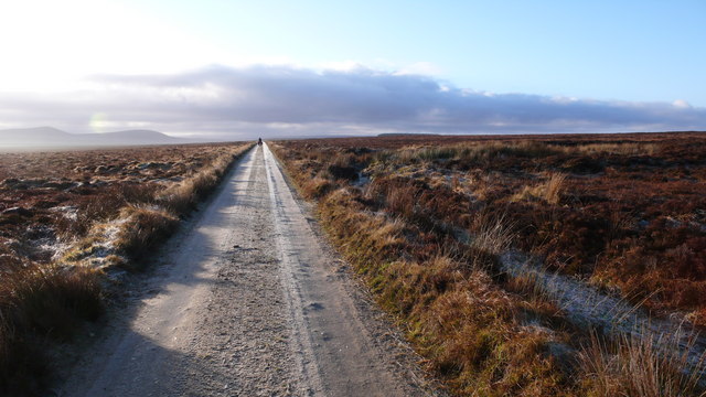
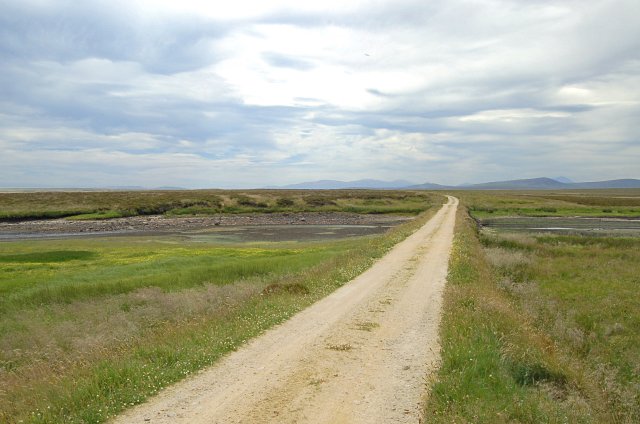
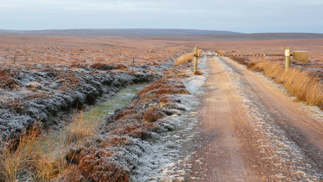
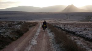
This old track crosses the remote, quiet and exposed moorland of Caithness.
Our description follows the route from north to south, i.e. away from Thurso:
From Westerdale take the road southwest to Strathmore Lodge. A track leaves the public road about 1km west of the lodge, where there is a small car park, and goes westwards past the north end of Loch More to a bridge at ND072464. Cross the bridge and continue along a track on the west side of the loch and up the River Thurso to Dalnawillan Lodge and Dalganachan, then south to Glutt Lodge, 12km from Loch More. Just before reaching the lodge turn left and go southeast along a well-made track across the Dunbeath Water to Lochan nam Bò Riabhach. Continue southeast by the track to reach Braemore, where there is limited parking, 9km from Dunbeath along a narrow public road.
OS Landranger 11 (Thurso & Dunbeath), or 17 (Helmsdale & Strath of Kildonan) & 12 (Thurso, Wick & surrounding area)
Heritage Information
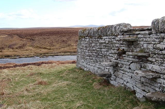
The route is depicted along its present line on the OS 6" first edition maps of Caithness, surveyed 1871. However, Roy's map (1747-55) clearly shows many of the placenames along this route; his map depicts a more populous Caithness.
By 1871, Westerdale is a busy settlement with its bridge (built in 1834), mills, limekiln, post office, school, free church and manse. Earlier mills are marked at Dalemore and near Achardale to the north on John Thomson's 1832 Atlas of Scotland (Caithness, imprint 1820). This Atlas also shows a mission chapel between Croic and Acharynie.
Dalnawillan ('Dalwhinyhan' on Roy's map) has an old graveyard associated with St Ciaran. The chapel is said to have been further west, on the Rumsdale Water which runs down to Dalganachan.
According to the Ordnance Survey Name Book of 1871, there is a standing stone at Ath Nan Leac (ND 1080 4785) that marks the spot where an un-named man perished in the snow.