by Eleisha Fahy | 11 September 2025
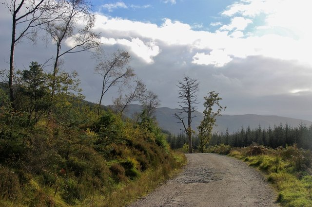
Where the B836 crosses the Little Eachaig River at the foot of Glen Kin, a track leads up the east side of the Glenkin Burn to Stronsaul where there is a crossing point. The track continues to a picnic shelter at NS121782, meeting the modern track which approached...

by Finley Jackson | 11 September 2025
There is a fine example of a ScotWays sign at NN117611 declaring “Camus na h Eirighe 1/4m”, with an associated heritage information plaque about the “lost village”. A newish metal pedestrian gate (adjacent locked field gate) gives access to a...
by David Oxley | 11 September 2025
This old drove road runs from just west of Kirriemuir along the high ground over Egno Moss to Airlie. Leaving the B951, the route is signposted onwards. The right of way is never in doubt, though sometimes grass, sometimes track. It crosses the public road near...

by David Oxley | 11 September 2025
A sign at the roadend states Hillhead of Clatt and the track leads up to the farm. Past the farm, the Kirk Road appears to largely follow field boundaries east and southeast until c.NJ530263 where its line has been ploughed out for about 100m. Beyond...

by David Oxley | 11 September 2025
Through gate by Ecclaw Farm and follow grassy track and/or wall through three fields. At corner of third field (NT765674) there are steps built into the wall. Cross the field on bearing 158 degrees to join track. Follow this track by side of fields, or between hedges,...