by Eleisha Fahy | 11 September 2025
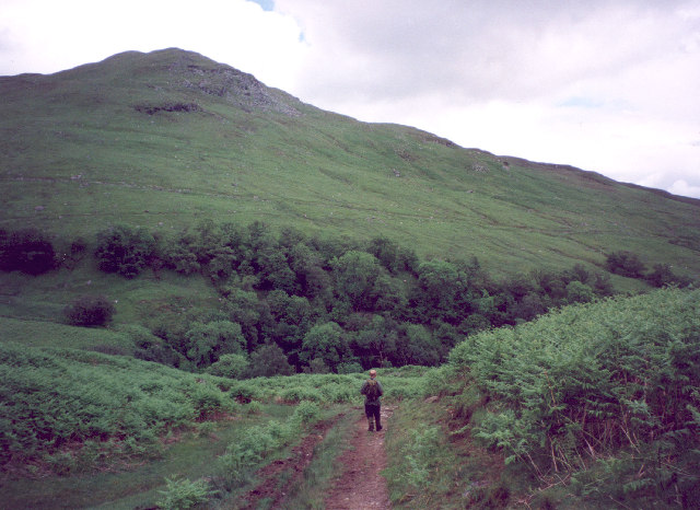
Duncroisk lies 5km from Killin following Glen Lochay’s public road. Just beyond it, take a gated track on the right (NN526363) to go northeast up the Allt Dhuin Croisg on its west side past old shielings. Continue up the Allt Dhuin Croisg to the long flat summit...
by Eleisha Fahy | 11 September 2025
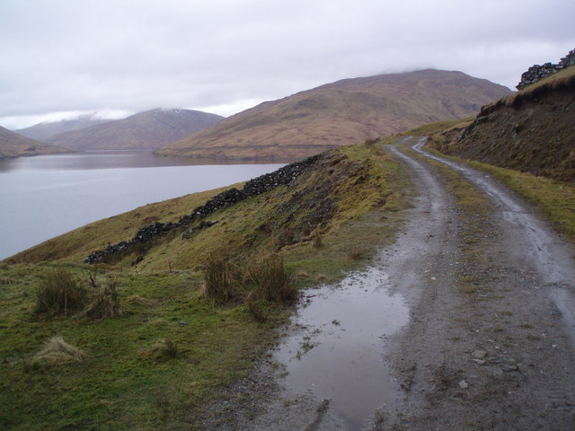
South of Rannoch station, cross the railway at the level crossing, go west round the head of Loch Laidon. After 1km, at NN414577, fork right into the forest and follow the road going southwest parallel to the loch for almost 4km to its end at NN378550. From here a...
by David Oxley | 11 September 2025
High Mingarry (Mingarry on the OS maps) is reached by a north/south track from the parliamentary road (A861) starting from the bridge at Mingarry (Mingarrypark). The track crosses the main Mingarry burn within the forestry plantation and one of the main...

by Eleisha Fahy | 11 September 2025
Please note that the path north of Corrour Old Lodge is reportedly soft and eroded. As of June 2012, we heard that the problem may be getting worse, with a number of wet gullies to be negotiated and resultant widening of the path. From Rannoch Station go east along...
by Eleisha Fahy | 11 September 2025
This long and historic route is now followed by landrover tracks or tarmac all the way, so may be considered cyclable by some. However, it traverses some remote and wild country and there are numerous fords, which may need wading in wet conditions. From Killin, go...